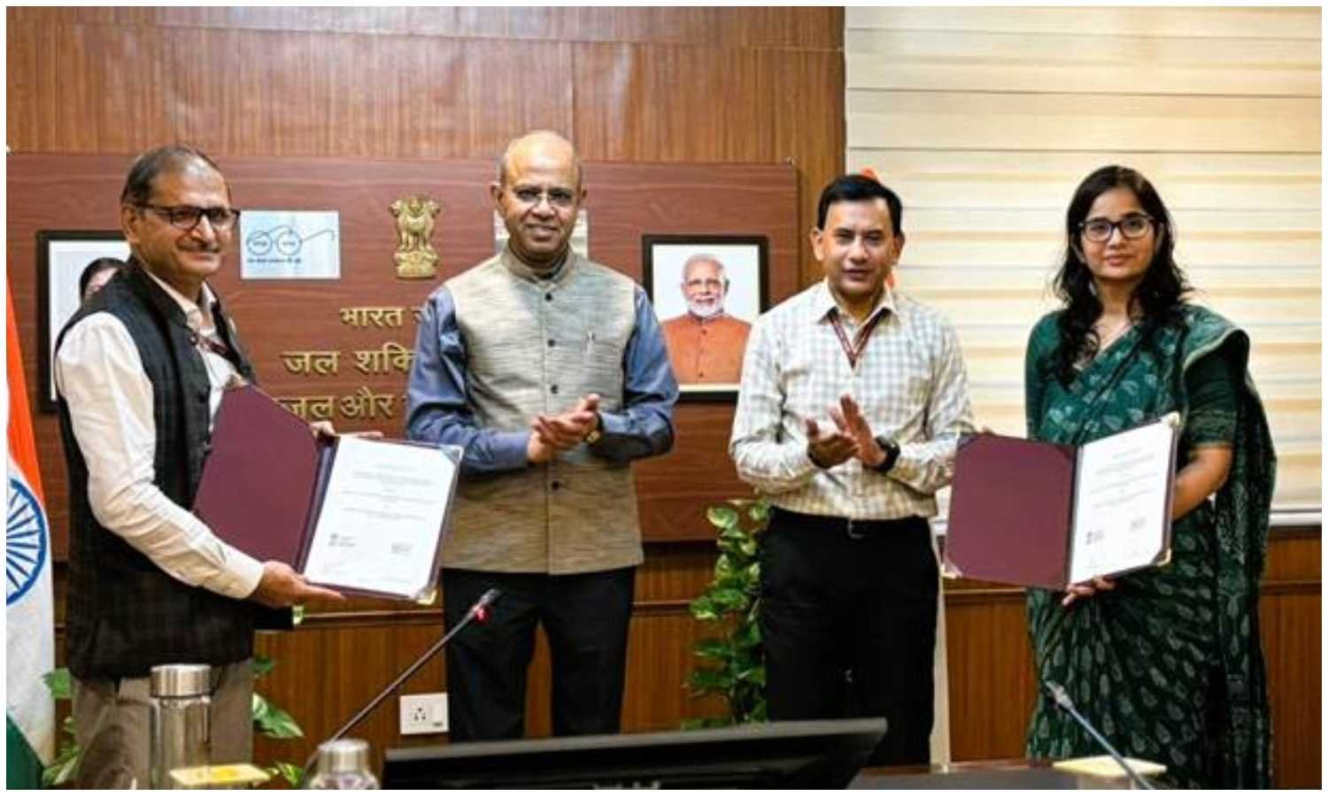
New Delhi: A new Memorandum of Agreement between DDWS and BISAG-N sets out to hardwire geospatial intelligence into India’s flagship rural missions. Signed at CGO Complex, New Delhi, the MoA creates a GIS-integrated decision-support platform for Jal Jeevan Mission and Swachh Bharat Mission (Grameen). The initiative builds on Digital India while addressing last-mile challenges in service delivery.
Secretary, DDWS, Shri Ashok K.K. Meena chaired the ceremony. Smt. Swati Meena Naik, Joint Secretary (JJM), and Shri Vinay Thakur, Special Director General, BISAG-N, exchanged the document in the presence of Shri Kamal Kishore Soan, AS & MD-NJJM, and senior officials. The design premise is straightforward: combine maps and mission data to drive better choices.
DDWS BISAG-N partnership embeds spatial intelligence into mission workflows
The platform’s purpose spans planning, monitoring, and evaluation. It will integrate geospatial layers with operation dashboards for districts and states. Moreover, it will support real-time visualisation and analytics, which teams can use during reviews and field visits.
Two design choices stand out. First, Rural Piped Water Supply Schemes will carry unique scheme-level IDs. That linkage enables asset-to-service tracking and simplifies audits. Second, the system will allow granular monitoring of household-level water delivery. Consequently, implementers can diagnose local bottlenecks and fix them quickly.
BISAG-N will deliver the full technology stack. The scope covers database design, map creation, data migration, software development, and systems integration. Additionally, advanced features—ground control surveying, digital photogrammetry, vector data capture, and thematic mapping—will enrich spatial baselines and improve decision accuracy.
Alignment with the PM GatiShakti National Master Plan is a core requirement. Therefore, water and sanitation layers will sit alongside other sectoral assets. As a result, planners can coordinate alignments, schedule trenching efficiently, and reduce duplication. This convergence should optimise resources and accelerate project delivery.
Secretary Meena underscored governance outcomes: transparency, accountability, and efficiency. With shared maps and metrics, districts can compare performance transparently. Furthermore, states can prioritise investments with evidence, not estimates, and document results for evaluation.
In effect, the DDWS BISAG-N partnership seeks to turn spatial data into better services. If execution matches intent, villages should see timely schemes, cleaner surroundings, and fewer service gaps. Thus, the initiative reframes digital monitoring as a tool for everyday reliability, not just compliance.